There is something quite captivating about Taiwan and its mountains, isn’t there? If you haven’t been blessed with the fortune of having been to Taiwan, you wouldn’t know what I am referring to. For its small size roughly 50% bigger than Wales, Taiwan manages to cram in 286 3000m/9800ft + mountains, yet from the lowland plains, they can feel so distant and foreboding.
Would day two be better than day one? A day tainted with drab trails, drab weather but perked up by some occasionally pleasant scenery when the sun came out.
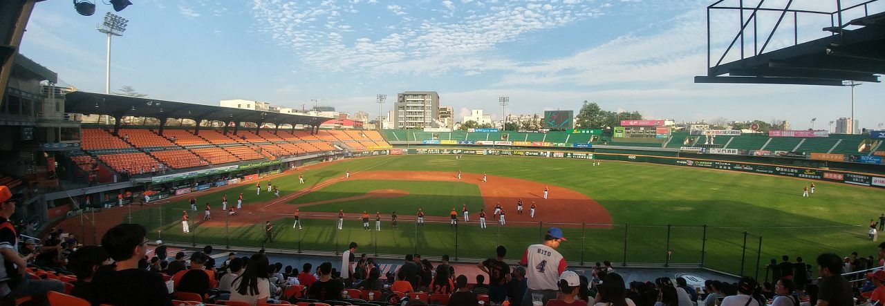
My 7:15am alarm wasn’t necessary, and I guess I was excited which is usually why I struggle to sleep well. To say I was excited may well be a slight understatement, I was going into Taiwan’s high mountains to hike. I’ve suffered recently with demotivation and over-indulging in beer, but whenever I get my hiking boots on, it seems to give me a new lease of life. Taiwan’s weather, my love of baseball and my hatred of hiking in heat has meant, walking has been limited since February.
Overnight some of my things had got a bit damp but, regardless, it was a small dampener (pardon the pun!) on what would be a wonderful morning. I checked and made my way uphill. The trudge felt longer and steeper than I remembered but the morning views were awesome.

My early check-out meant I had to skip breakfast but I got to 7 Eleven to buy some water along with some chocolate bars, I had wanted nuts but there were only flavoured nuts, not to my liking!
I had 10 minutes to spare before the bus, I had had to ask a colleague at work to phone up and get me a reservation on it. (The Nantou Bus website suggests reservations.) I was told to say my name and pay 150NT but, just got on, said: “Yi tian” which means ‘One day’ in Chinese and that was that I paid, got my one day ticket, simple!
The journey up from Cingjing to Wuling, the highest point on Taiwan’s road network was something quite special. I had got on one stop after everyone else, so was unfortunately on the left and wrong side of the bus for the views and had to stand to get photos. The higher we got, the more my breath was taken away and no I’m not talking about the altitude, the pun once again is not intended!
My intention was to do three mountains, the three “Bai Yue”, Hehuan Main Peak, Hehuan East and Mt Shimen. Not interested in backtracking 2.4km along the road from Songsyue Lodge to Hehuan Main, I decided to get off the bus at Wuling. It’s said that once you reach Wuling, you descend right away and that was absolutely true.
From the bus stop, there was a platform up a flight of stairs that gave away one of the most incredible and dramatic views I had ever seen. Both Hehuan East and Main were visible to the left and right respectively with an almighty valley ahead before the mountains continued in the distance.

Wuling 3275m high.

Panoramic shot
Needless to say that given the perfect weather, the platform was quite crowded. I was stood at 3275m/10744ft, it took a few moments to take things in and no, I’m not talking about air!
I made my way down the road in the direction of Hehuan’s Main Peak, a mere 0.8km away and within a few minutes was at the start of the trailhead. Quickly things changed, I spotted a path off to the left. I got my phone out and realised it led to Hehuan South, which I had never read of in my research! I knew that the other three peaks were likely to take 4.5 to 5 hours to complete and with the bus back at 3:35, and it now being 9:40, I had some time to kill.
This path gradually made its way downhill with a few short uphill sections and was a pleasant dirt trail. Hehuan South doesn’t get anything like the same attention as the other 4 Hehuan’s (try Googling Hehuanshan South!) but at 3230m, was an easy 20-minute walk from the Hehuan Main Peak trail.

Looking ahead to South Peak

South Peak
I made the short backtrack and continued to on my quest to do Hehuan’s Main Peak.
The path up to the main peak split, there was a dirt path up a ridge to the left whilst the main path was simply a track. Unusually, I stuck to the harder surface as I knew it was likely to take me longer. Fog began to occasionally roll in and out, which knocked the temperature down a little but the suggested one hour hike took me half an hour. It felt all too easy and the altitude was having no effect on me.

The main peak ahead

East Peak

Shimen

At the summit
With the fog in at the summit, the views could have been better but nonetheless, I still spent about 10 minutes at the top.
On the way down, I intended to use a shortcut I had spotted earlier. The shortcut was a steep path that rejoined the main road higher up and left the Hehuan Main Peak trail about halfway down. I saw two others go down and it was steep! It was only at the bottom did I realise there was a small no entry sign, oops…well there wasn’t a sign at the top!

Left here… down the shortcut

Steep, care must be taken.
It took 35 minutes from the main peak to the main road, and I have to admit, I was trying my best to drag things out.
I got back to Wuling, and knew I had to do Hehuanjian too. I had easily done 7.7km in just over 2 hours and was in the mood for more.
The road down to Songsyue Lodge was quite steep and a little care had to be taken on some of the bends. Most drivers were certainly courteous and mindful of the fact it is a well-hiked area.

The summit of Wuling

Walking down the road

Suggest times for all the mountains

Hehuanjian
The next question was… Hehuan East or… no easy decision. Hehuan East was the hardest of the three remaining peaks to do, estimated to take 1 hour 45 minutes which would make it 2pm by the time I finished. It was at this time I knew the fog was likely to stick around longer and that the morning sun, was not going to be seen much thereafter.
Behind Songsyue Lodge the trail up to Hehuan East Peak began and was quite easily one of the dullest paths I’d been on. It was a 1km trail, ascending 271m up mainly wooden boardwalk steps. When the fog relented, the views down into Hualien were fantastic. A fun fact, this trail starts in Hualien County but the peak itself is in Nantou. I hadn’t known that the Hehuan area was actually a part of Taroko National Park, more commonly associated with Taroko Gorge on Taiwan’s east coast.
For the first time, perhaps altitude did affect me somewhat. It could also have been my pace, the fact I wasn’t drinking my water and the fact I do not like to stop unless I absolutely have to. Needless to say, the 65 minute suggested ascent took… 31 minutes.
At the summit, the Qilai mountains were visible to the south as well as Hehuan Main and South to the west. It was quite crowded at the top but I managed to get my selfie, and began my descent fairly quickly.
With long legs, and a good stride I made short work of the steps going back down. I just had to watch for the people who sat right in the middle of them, and those who walked two abreast on steps, two people wide! It was amazing to see how people were not carrying water or didn’t appear to be equipped in case the weather suddenly changed. I had gloves, a jumper and full waterproofs with a litre of water and felt like I over prepared.

By the time I got to the bottom, little bits of cramp in my left calf had set in. The next choice was Hehuanjian or Shimen Mountain? I had 2 hours and 15, the suggested time for both was just over an hour…
I got to the trailhead of Shimenshan at 1:25 and it was a welcome relief to find it was a more natural trail. Dirt, rock and no horrible artificial boardwalk steps in sight! This was a 750m stroll up the summit at 3237m, it was extremely hard to believe the suggested time of 20 minutes to ascend! A quick Google suggests anywhere from 20 minutes to an hour, it took me 13 minutes but I certainly still enjoyed it.

Mt Shimen

Looking back, beautiful view
The terrain was definitely to my advantage and it was easy to see why Shimenshan is the easiest of the “Bai Yue”, I couldn’t think how it could be simpler. I got my photo at the top and hopped back down in under 10 minutes. The suggested descending time was 15 minutes, again, wildly optimistic as I had overtaken people I had seen descending on my way up!
I crossed the road at the bottom of the trail and was suddenly at the exit to the Hehuanjian trail. I wondered why it said exit and about 25 minutes later, I realised why. I also began to regret my pace as I made my way up the boardwalk steps to the top. My legs were cramping badly but I was determined to get the last peak done as soon as possible.

6 minutes to the top… yes really!

Mt Shimen

STEEEEP!
At the top the views were better than those from Shimenshan because there was less fog and given it was the last peak, I spent a good 15 minutes resting. I could only smile, I had expected to do 3 peaks but had managed to do 5 in just over 4 hours.
Going down, I found why the boardwalk steps was the exit route… There was a scramble…a nasty scramble! I don’t mind scrambles, but downhill on 18.5km, with tired legs and sharp rocks, it wasn’t ideal but I had to laugh. The day was ending on a challenge.
2:34pm and mission complete, 5 peaks successfully ascended and descended and I had an hour to wait for the bus back. I had a wash and went into the cafe for a hot drink. It said NT$150 but the attendant said something about “Bei zi” and from what I could read on the counter, I had to take my cup back and something about NT$50.
I went outside with my mocha and could finally truly relax, but couldn’t use my phone! I only had 40% battery and had no idea when I would get it charged up. I finished up, took my cup back inside, curious to see what would happen and to my delight, got NT$100 back. So it was 50 for the drink and 100 for the cup deposit! Even if it had cost me NT$150 for the mocha, I wouldn’t have been too bothered!
Eventually, the bus turned up early at 3:15 and it was immediately stormed by OAPs which meant, first in line became last to get on! The journey back to Cingjing took about 50 minutes, and I got off at the service center, knowing the next bus to Puli was due about 10 minutes later at 4:35.
Getting back to Taichung took a lot longer than expected. The bus to Puli turned up at 4:50 and almost empty, and the weather was completely foul. An hour to Puli and a quick change on the 5:55 bus to Taichung. This was horrible, especially without being able to use either of my phones. The bus got stuck in traffic around Caotun waiting to get on highway 3, the 1hr 10 journey took about 2 hours!
So, 5 hours 20 after finishing my hike I was still hours from home. I got a ticket on the 8:30 bus to Tainan and it was at this point I realised just how badly sunburnt I was. The sun hadn’t been out too long, but I came to the conclusion, I caught it a bit on Saturday and then made it worse on Sunday. I falsely equated higher temperatures with sunburn rather than simple exposure to it, duh! It didn’t look very good at all, and 2 days later at the time of writing, I still look an absolute mess.
I finally got home in Tainan at 11:30pm, completely red in the face but I had also had a superb weekend. The hiking was fantastic, I hadn’t had issues with altitude and it had been a really healthy few days.
So scenery and sunburn, the story of the two days! Most of what I packed I didn’t need, and I ultimately left out a lot of stuff I could have really done with! You live and learn as they, and 5 years out the UK, I’m still doing that!
I will be writing a practical guide on how to do a trip like this in the coming days.
Tom